

No single organization owns the complete picture.
We’ve never had more information about what lies beneath our feet. Yet the information we trust remains the hardest to assemble when we need it most. As British Columbia’s infrastructure grows in both scale and complexity, the next evolution will be defined by efficiently connecting authoritative data that professionals can easily access, understand and use with complete confidence.
Given today’s data silos and limited collaboration, every project begins with the inconvenience of an incomplete picture and the challenge of assembling that picture yourself. Without a cohesive or regulated framework, property boundaries are maintained by one organization, utility records by another, municipal infrastructure by another still. Survey information, planned capital projects and countless other datasets each contribute their own unique and critical pieces.
This challenge is quietly reshaping infrastructure planning across British Columbia. The Land Title and Survey Authority’s ParcelMap BC has become the province’s trusted graphical representation of titled and surveyed land parcels, providing a common spatial foundation for land-related decisions.
GeoBC delivers authoritative administrative boundary data, while organizations such as the Integrated Cadastral Information Society (ICI Society) help connect geospatial (mapping) information from local governments, utilities, First Nations, improvement districts and provincial agencies through trusted data-sharing frameworks.
Together with BC 1 Call’s damage prevention network and free, province-wide communications system, these organizations contribute complementary pieces of an increasingly connected information ecosystem.
Strategic collaboration is gaining importance and anticipating meaningful impact over time. During BC 1 Call’s Underground Infrastructure Roundtable hosted earlier this year, leaders from municipalities, utilities, engineering, construction, excavation and technology reached a remarkably consistent conclusion: British Columbia’s greatest opportunity lies not only in creating more information, but in better connecting the trusted information that already exists.
The future of underground infrastructure will be defined by how confidently we can connect the data that matters.
Historically, infrastructure owners often planned projects independently, discovering overlapping work only after construction schedules had already been established. Roads were reconstructed only to be reopened months later. Utilities upgraded services without knowing neighbouring organizations had planned work in the same corridor. The result? Unnecessary disruption, duplicated costs and missed opportunities for collaboration.
As B.C. continues to invest billions in multidimensional growth, no single organization owns the complete picture. Rather than creating new datasets or centralizing ownership, opportunity lies in strengthening the connections between trusted organizations, allowing each to contribute their expertise while making critical information easier to discover, integrate and apply. The objective is not one perfect database; it is a more seamless, authoritative and accessible information ecosystem.
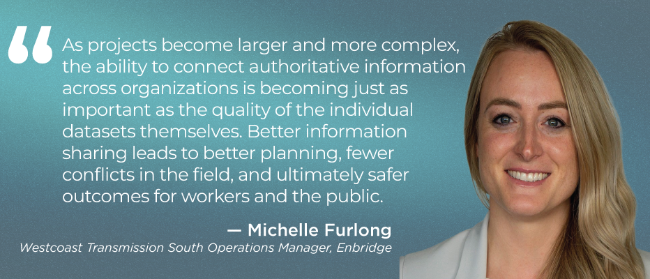
Better connected information reduces uncertainty. Collaboration has become just as important as technology.
Geographic Information Systems have already transformed how infrastructure is planned and managed. Digital twins are the next evolution, promising to integrate geospatial information with engineering, operational and asset data to create living digital models of infrastructure throughout its lifecycle.
Implications extend well beyond today’s projects. Rather than simply identifying where a watermain, transmission pipeline or telecommunications duct is located, a digital twin can also incorporate information such as installation history, inspections, maintenance records, operating conditions, nearby infrastructure, planned construction and environmental factors. The result is a richer understanding of how infrastructure interacts within the broader built environment, enabling more informed asset management and investment decisions throughout its lifecycle.
Imagine planning a major transportation project while simultaneously understanding the condition of nearby underground utilities, future municipal capital projects, property constraints, environmental considerations and potential conflicts before construction begins. Rather than reacting to challenges in the field, owners and project teams can identify opportunities, co-ordinate work and reduce risk much earlier in the process.
While digital twins may represent the future of infrastructure management, their success depends on something much more fundamental: trusted information.
The most sophisticated technology depends on the same foundation: authoritative, current information maintained by trusted organizations and shared through effective collaboration.
Technology can visualize data, analyze relationships and reveal opportunities, but it cannot compensate for incomplete records, disconnected systems or information that stakeholders do not trust. Every advancement in digital infrastructure ultimately depends upon sound governance and organizations that are willing to collaborate.
That may prove to be British Columbia’s greatest opportunity. The province already possesses remarkable expertise. Together, they are being challenged to create an information ecosystem that is stronger than any single dataset or organization could provide on its own.
The future of underground infrastructure will depend not only on what we build, but on how well we connect the knowledge.
Next week in Beneath B.C.
The People Protecting B.C.’s Infrastructure: Meet the professionals whose expertise, judgment and commitment quietly protect the province’s underground infrastructure every day.
To read the full series in the Journal of Commerce click here.
You must be logged in to post a comment.